Inertial Navigation System (INS)
Doodlebrary
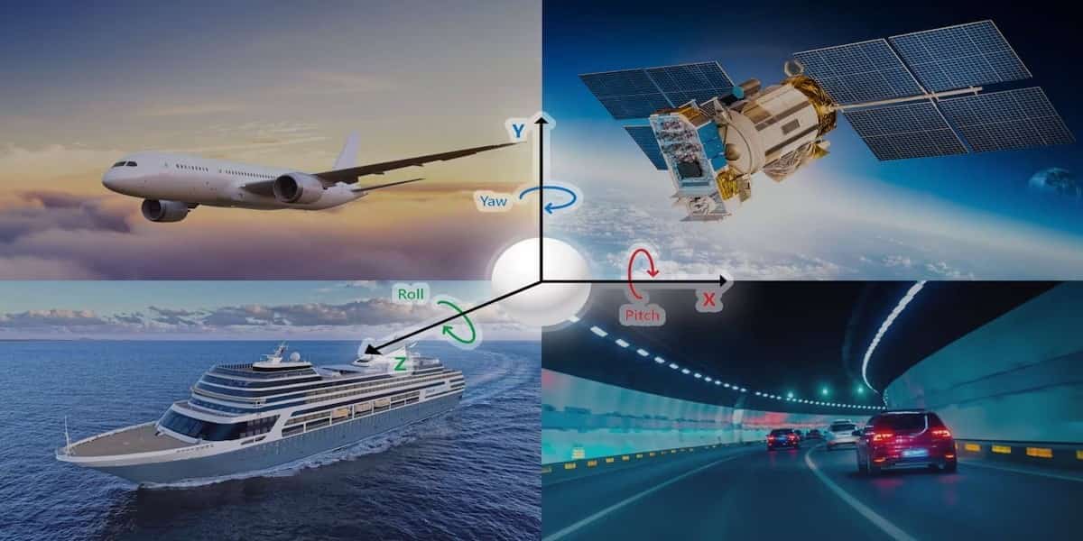
- An Inertial Navigation System (INS) is a navigation technology that uses a combination of accelerometers and gyroscopes to determine the position, orientation, and velocity of a moving object, such as an aircraft, ship, or vehicle.
- INS works based on the principles of inertia and the laws of motion.
- Here’s how an INS typically works:
- Accelerometers: These sensors measure acceleration forces in the three orthogonal axes (X, Y, and Z). By integrating the acceleration measurements over time, the system can determine the object’s velocity in three dimensions.
- Gyroscopes: Gyroscopes measure angular velocity or rotation rates around the three axes. By integrating these measurements over time, the system can determine changes in the object’s orientation.
- Initial Alignment: Before the system can provide accurate navigation data, it needs to be initialized and aligned with a known reference point or system, such as GPS or a star tracker. This initial alignment establishes the reference for subsequent measurements.
- Integration: The INS continuously integrates the measurements from accelerometers and gyroscopes to calculate the object’s position, velocity, and orientation. This integration process accumulates errors over time, leading to a loss of accuracy. To counter this, many INS systems are coupled with external sensors or systems, such as GPS or a magnetometer.
- Error Correction: External systems like GPS are used to periodically correct the accumulated errors in the INS. These corrections help maintain accuracy over extended periods of navigation.
- INS is known for its ability to provide highly accurate position, velocity, and orientation information, particularly in situations where GPS signals are obstructed or unreliable, such as underwater or in environments with heavy interference.
- However, INS systems are prone to drift and require frequent corrections to maintain accuracy.
- They are often used in conjunction with other navigation systems, such as GPS, to compensate for this drift and provide continuous, reliable navigation data.
- Applications of Inertial Navigation Systems include:
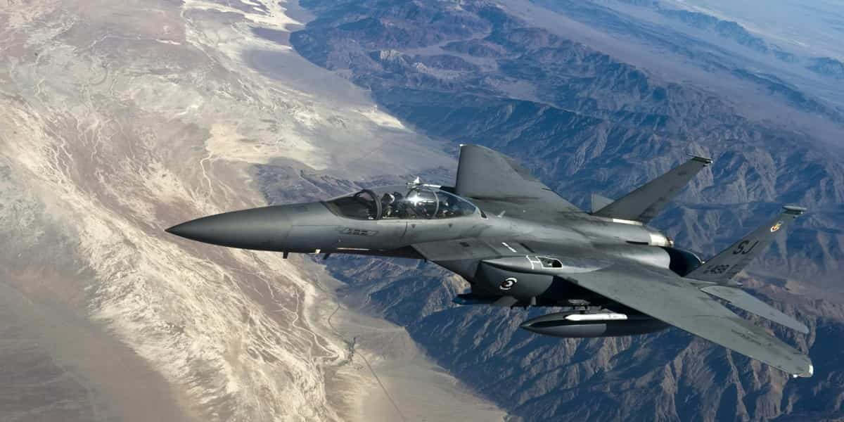
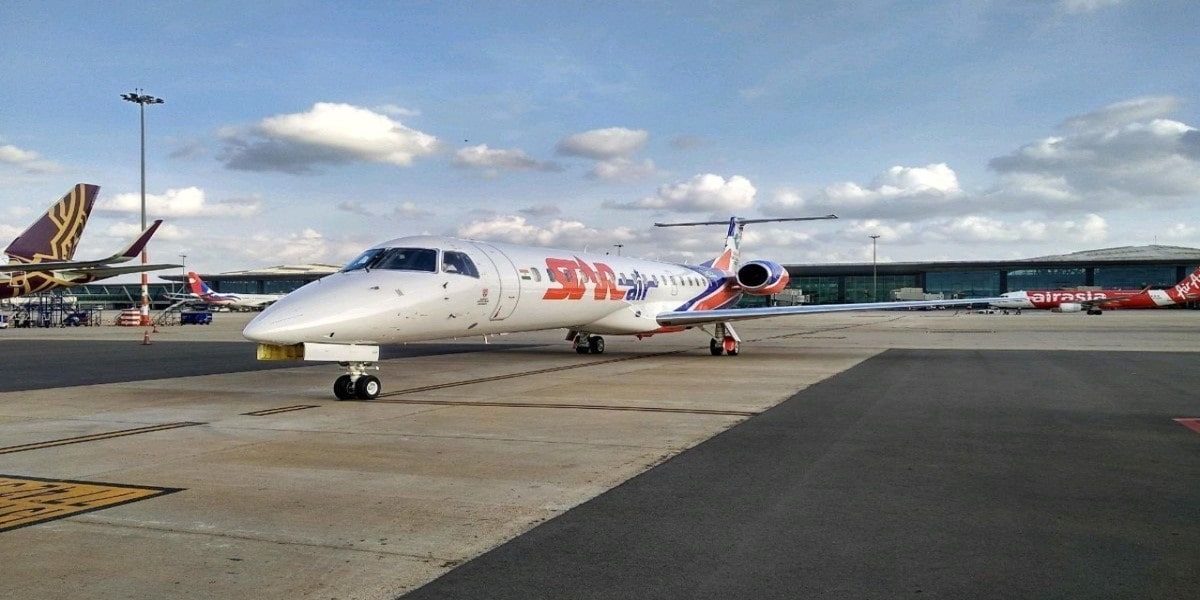
- Aviation: INS is used in aircraft for navigation, especially during flights over oceans or in remote areas where GPS signals may not be available.
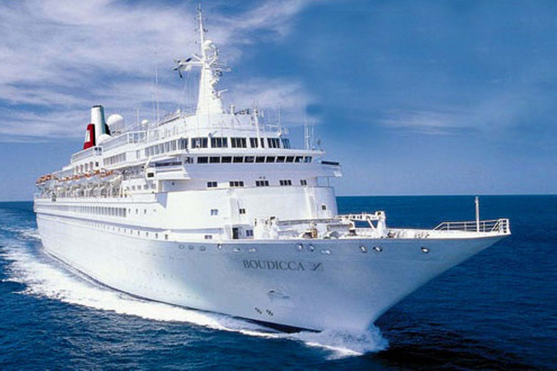
- Maritime: Ships and submarines use INS to maintain navigation and situational awareness.
- Ground Vehicles: Military vehicles, autonomous cars, and other ground vehicles use INS for precise positioning and guidance.
- Space Exploration: INS is used in spacecraft to determine their position and orientation during interplanetary travel and for landing on celestial bodies.
- Robotics: Robots and drones often incorporate INS to navigate autonomously and accurately.
- The integration of multiple sensors, like GPS, magnetometers, and altimeters, with INS has become common in many applications to improve overall accuracy and reliability.